
OpenSlope
Offline topographic ski maps & live friend locator
OpenSlope – Offline topographic ski maps with live friend location sharing
Summary: OpenSlope provides detailed offline ski maps with satellite imagery and topo lines, allowing users to navigate resorts without signal. It includes elevation profiles, slope insights, and a live friend locator using simple codes for real-time group tracking.
What it does
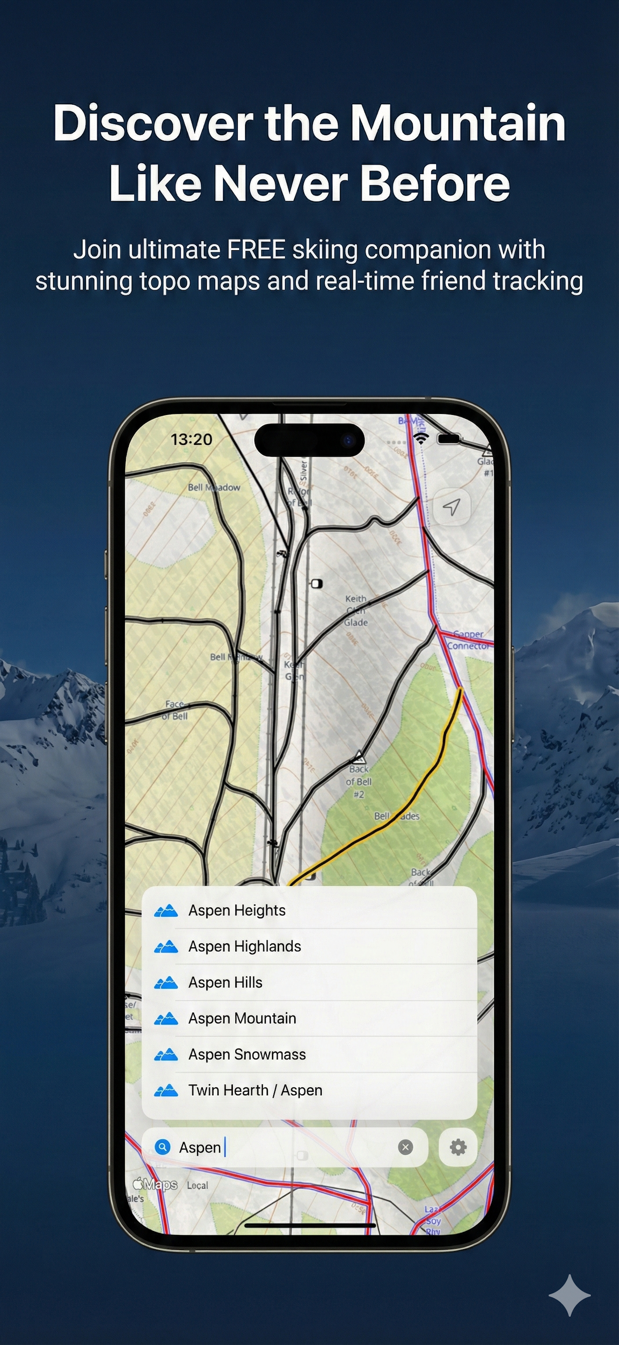
OpenSlope delivers offline-accessible ski maps featuring topo lines and satellite detail, plus elevation and slope data. It enables users to share locations with friends via a code, displaying them as markers on the map.
Who it's for
It is designed for skiers and snowboarders needing reliable offline navigation and easy location sharing within small groups on mountain resorts.
Why it matters
OpenSlope solves the problem of navigating and coordinating with friends in low-signal environments by providing offline maps and simple, privacy-focused live location sharing.