
Rome Ancient Map Explorer

Travel through time with interactive ancient maps
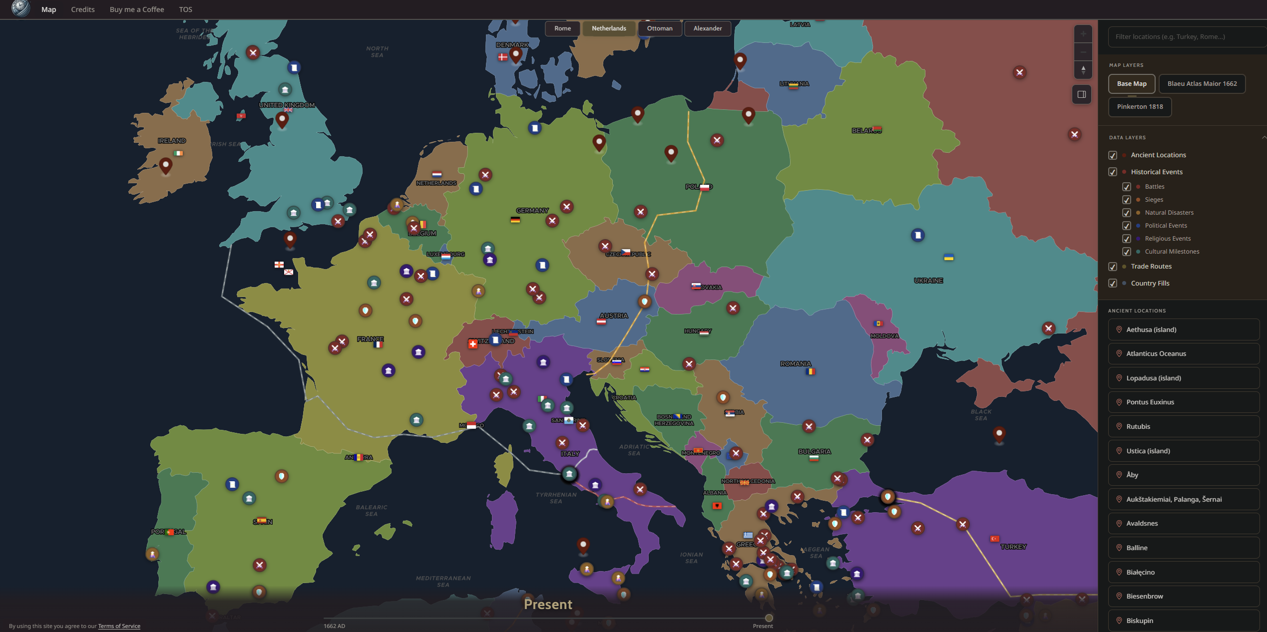
Rome Ancient Map Explorer – Interactive layered maps of ancient empires
Summary: Rome Ancient Map Explorer offers georeferenced, interactive maps of ancient empires including Rome, Alexander the Great, and the Ottoman Empire. Users can toggle layers showing battles, trade routes, political events, and thousands of historical locations, providing a visual and immersive way to explore history.
What it does
It displays layered historical maps with timelines and events, allowing users to explore ancient regions interactively through georeferenced data.
Who it's for
Ideal for history enthusiasts and researchers seeking a visual, interactive alternative to text-heavy historical resources.
Why it matters
It transforms static historical data into an explorable, spatial experience that reveals how the world looked in different eras.