
Albatross by Terrabit

One platform to order, track & share satellite imagery
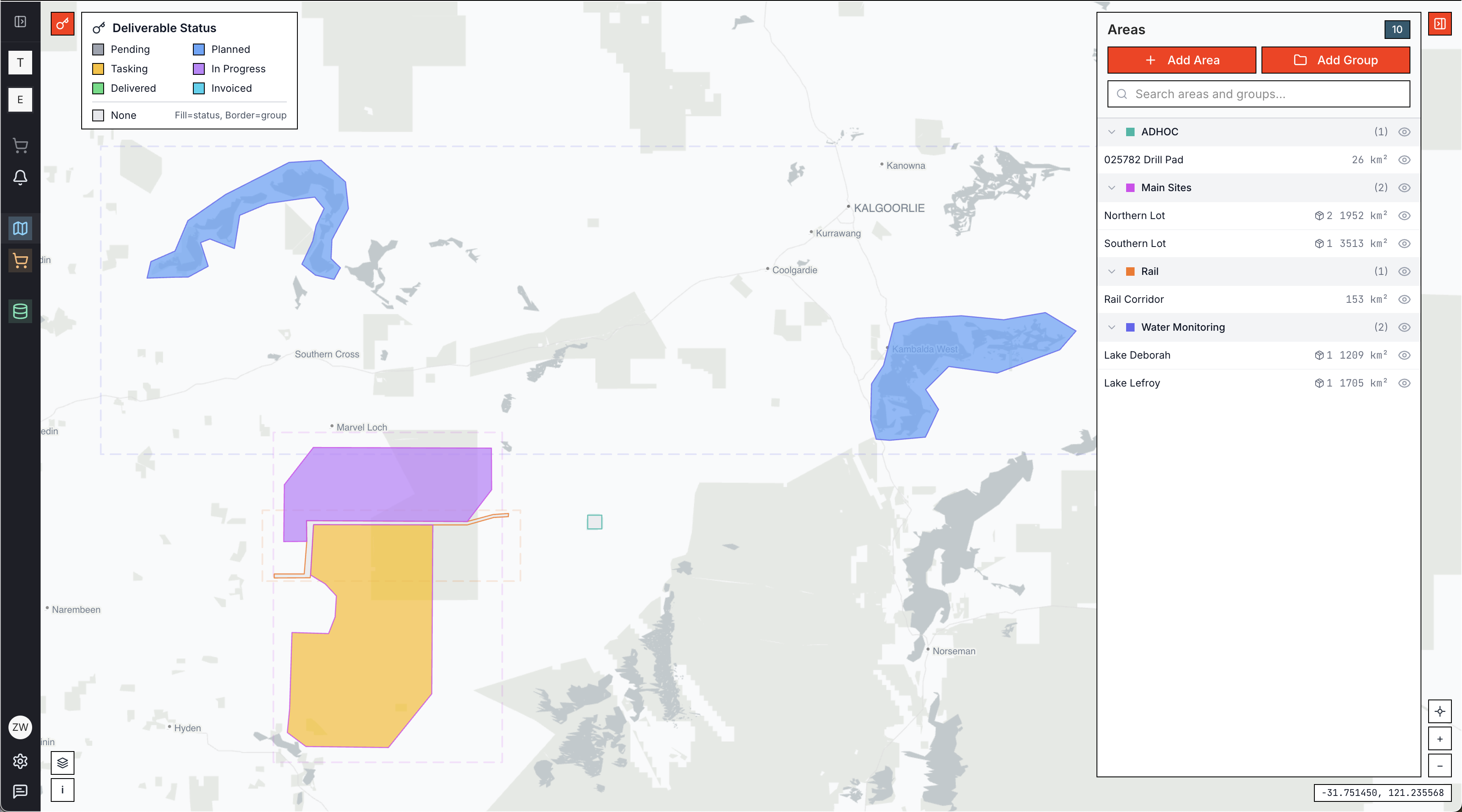
Albatross by Terrabit – Unified platform to order, track, and share satellite imagery
Summary: Albatross centralizes satellite imagery procurement by enabling users to search archives, task new captures, and track deliveries from a single dashboard. It supports spatial queries across extensive imagery libraries, in-browser data viewing, and collaborative digitization with machine learning assistance, streamlining geospatial workflows.
What it does
Albatross integrates ordering, delivery tracking, and data cataloging for satellite imagery across multiple vendors. It allows direct user orders with approval workflows, spatial queries of terabytes of imagery, and in-browser viewing without GIS software, with ML-assisted digitization tools in development.
Who it's for
The platform targets geospatial teams and end users in mining, energy, infrastructure, government, and environmental sectors who require streamlined satellite imagery procurement and collaboration.
Why it matters
Albatross addresses fragmented procurement processes, lack of delivery visibility, complex data sharing, and time-consuming digitization by unifying these tasks into one accessible platform.