
SatPixel
Daily satellite puzzles: Can you guess the city from space?

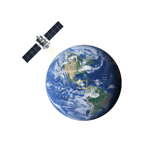
SatPixel – Daily satellite puzzles to identify cities from space
Summary: SatPixel offers daily satellite-based games and tools that challenge users to identify locations and improve geographic knowledge through high-resolution imagery. It combines city-guessing puzzles, precision location tests, curated satellite views, and geography quizzes to build geospatial intuition.
What it does
SatPixel features daily games like SatZoom, where users guess cities from satellite images, and SatPin, which tests location accuracy. It also provides SatAtlas for browsing curated satellite imagery and SatQuiz for geography skill development.
Who it's for
It targets geography enthusiasts, map lovers, explorers, and daily puzzle players interested in satellite imagery and spatial challenges.
Why it matters
SatPixel enhances users’ understanding of Earth’s geography by turning satellite imagery into interactive, educational puzzles and visual exploration tools.