
Quetzly

Test, monitor, and visualize your location APIs in one place
Quetzly – Test, monitor, and visualize your location APIs in one place
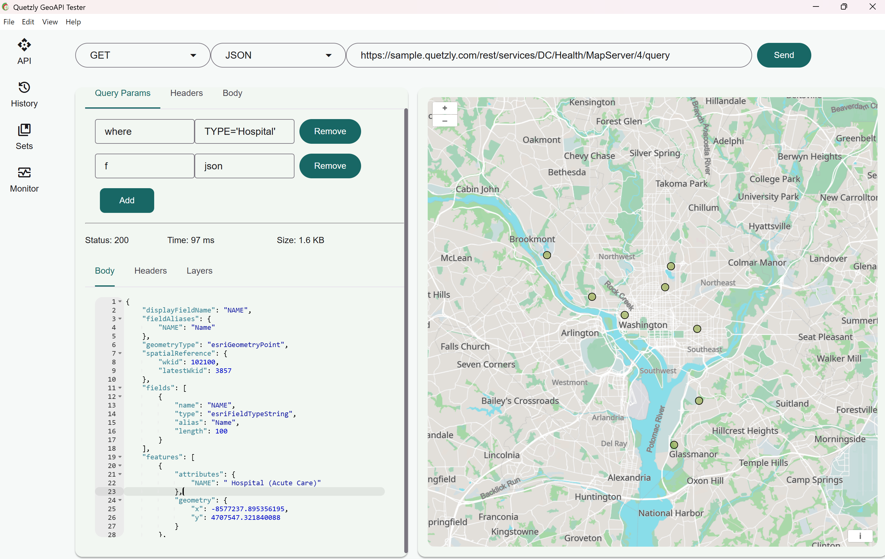
Summary: Quetzly is a desktop API client designed for spatial data and location services that enables developers and GIS teams to test, monitor, and visualize geospatial APIs with integrated tools. It supports sending HTTP requests, editing headers and query parameters, and rendering map services like WMS, WFS, GeoJSON, and ArcGIS on an interactive map.
What it does
Quetzly sends requests to location APIs and displays JSON responses alongside instant map visualizations. It allows toggling layers, zooming to extents, exporting data as GeoJSON or Shapefile, and tracking endpoint health through uptime checks.
Who it's for
It is intended for developers, GIS professionals, and IT teams working with geospatial APIs and location services.
Why it matters
Quetzly streamlines debugging and monitoring of spatial APIs by consolidating multiple tools into one interface, reducing manual data transfers and improving workflow efficiency.