
Map Visualizer

DudeMap: Free Online Geospatial Data Viewer
#API
#Maps
#Data Visualization
Map Visualizer – Fast, free online geospatial data viewer
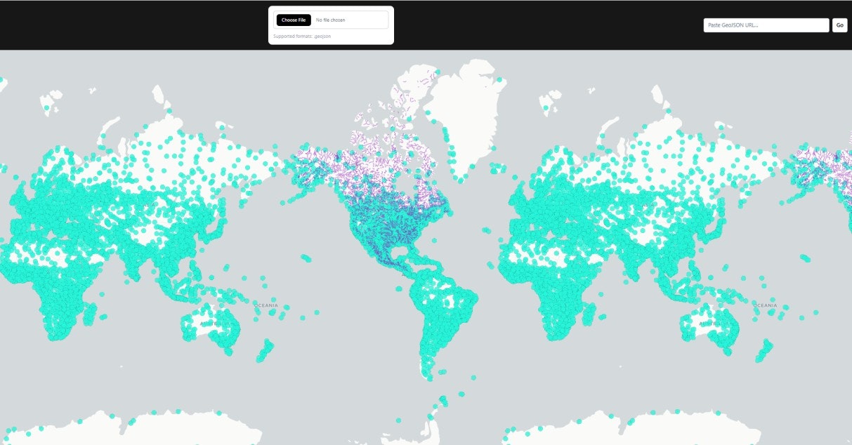
Summary: DudeMap is a free web-based tool for uploading and visualizing geospatial data formats like GeoJSON, FlatGeobuf, Shapefiles, KML, GPX, and CSV. It supports large datasets with fast rendering and advanced visualization using DeckGL and MapLibre.
What it does
DudeMap enables instant interactive map visualization and geospatial analysis with layer management and high-performance vector rendering directly in the browser.
Who it's for
It is designed for GIS developers, analysts, cartographers, and researchers working with geospatial data.
Why it matters
It addresses the need for a fast, modern, and accessible online tool that handles large geospatial datasets without desktop GIS software.