
Luxor: The Visual Guide
The Explorer's Egypt Guide

Luxor: The Visual Guide – Interactive Visual Maps and Itineraries for Exploring Ancient Egypt
Summary: Luxor: The Visual Guide offers visual maps, ready-made itineraries, and curated photo spots to enhance trip planning for visitors to Luxor. It replaces traditional text guides with interactive visuals to streamline exploration of the ancient city.
What it does
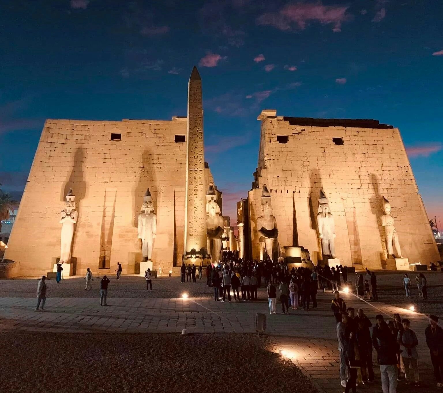
The guide provides stunning visual maps and pre-designed itineraries highlighting key locations and hidden photo opportunities in Luxor. It helps travelers plan their visits efficiently using visual tools instead of text-heavy information.
Who it's for
It is designed for travelers seeking a visually engaging and organized way to explore Luxor’s historical sites without extensive planning effort.
Why it matters
It addresses the challenge of overwhelming and tedious trip planning by offering a clear, visual approach to discovering Luxor’s ancient landmarks.