
kml-earthworks

Fast terrain and earthworks analysis from Google Earth KML
#Artificial Intelligence
#GitHub
#YouTube
#Data Science
kml-earthworks – Fast terrain and earthworks analysis from Google Earth KML
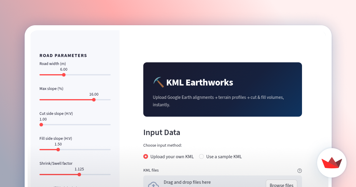
Summary: kml-earthworks processes Google Earth KML files to add elevation data, create terrain profiles, and estimate cut and fill volumes for earthworks, enabling quick evaluation of road alignment feasibility.
What it does
It enriches KML paths with elevation data, generates longitudinal terrain profiles, and calculates earthwork volumes automatically using Python and Streamlit.
Who it's for
Users needing rapid assessment of road alignment and earthmoving requirements from geospatial data.
Why it matters
It streamlines earthworks planning by providing automated volume estimates and terrain analysis from simple KML inputs.