
GPS Geo Location Tag Camera
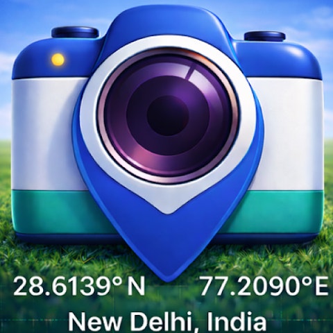
GPS Map Camera lets you capture photos GPS location stamps
#Android
#Productivity
#User Experience
GPS Geo Location Tag Camera – Capture photos with precise GPS and map data
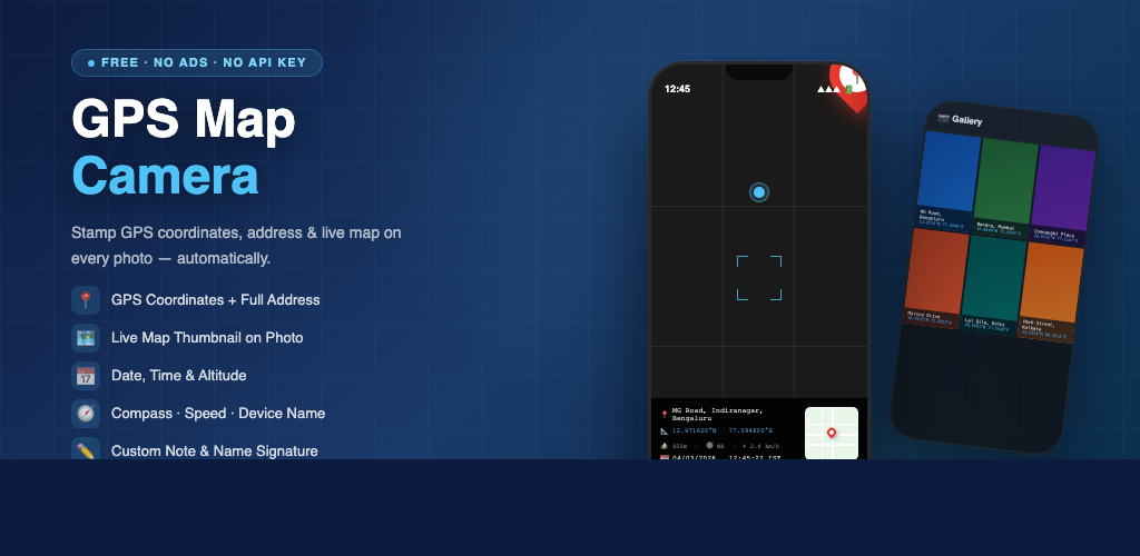
Summary: GPS Map Camera captures photos embedded with GPS coordinates, addresses, altitude, compass direction, speed, and date-time stamps for accurate geotagging.
What it does
The app automatically adds GPS location stamps, map overlays, addresses, and date-time tags to photos taken with the camera.
Who it's for
It is designed for users needing geotagged photos for documentation, inspections, travel, or field reporting.
Why it matters
It ensures photos contain precise location and contextual data for accurate record-keeping and verification.