
FLARE
Decision-Ready Wildfire Intelligence
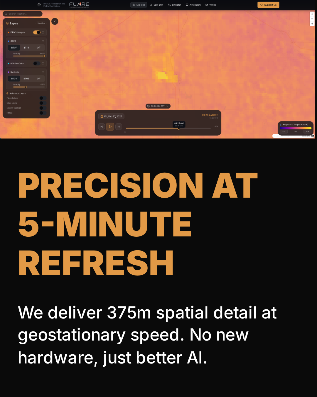
FLARE – High-Resolution, Frequent Wildfire Detection from Geostationary Satellites
Summary: FLARE provides 375-meter resolution wildfire detection across the continental US every 5 minutes using geostationary satellite data. Its AI model reconstructs detailed fire activity continuously, enabling earlier detection and tracking of fire progression beyond single hotspot alerts.
What it does
FLARE uses an AI model encoding radiative physics and combustion chemistry to generate synthetic 375m reflectance from GOES satellites at 5-minute intervals, delivering continuous fire activity monitoring and FireScore risk indices.
Who it's for
FLARE targets utilities, insurers, and fire agencies needing timely, high-resolution wildfire intelligence for operational decision-making.
Why it matters
It addresses the gap between resolution and refresh rate in wildfire monitoring, enabling earlier response and better risk assessment.