
Filio

Jobsite photo tracking with geo tags and AI notes
Filio – AI-powered construction photo documentation with geo tags and contextual data
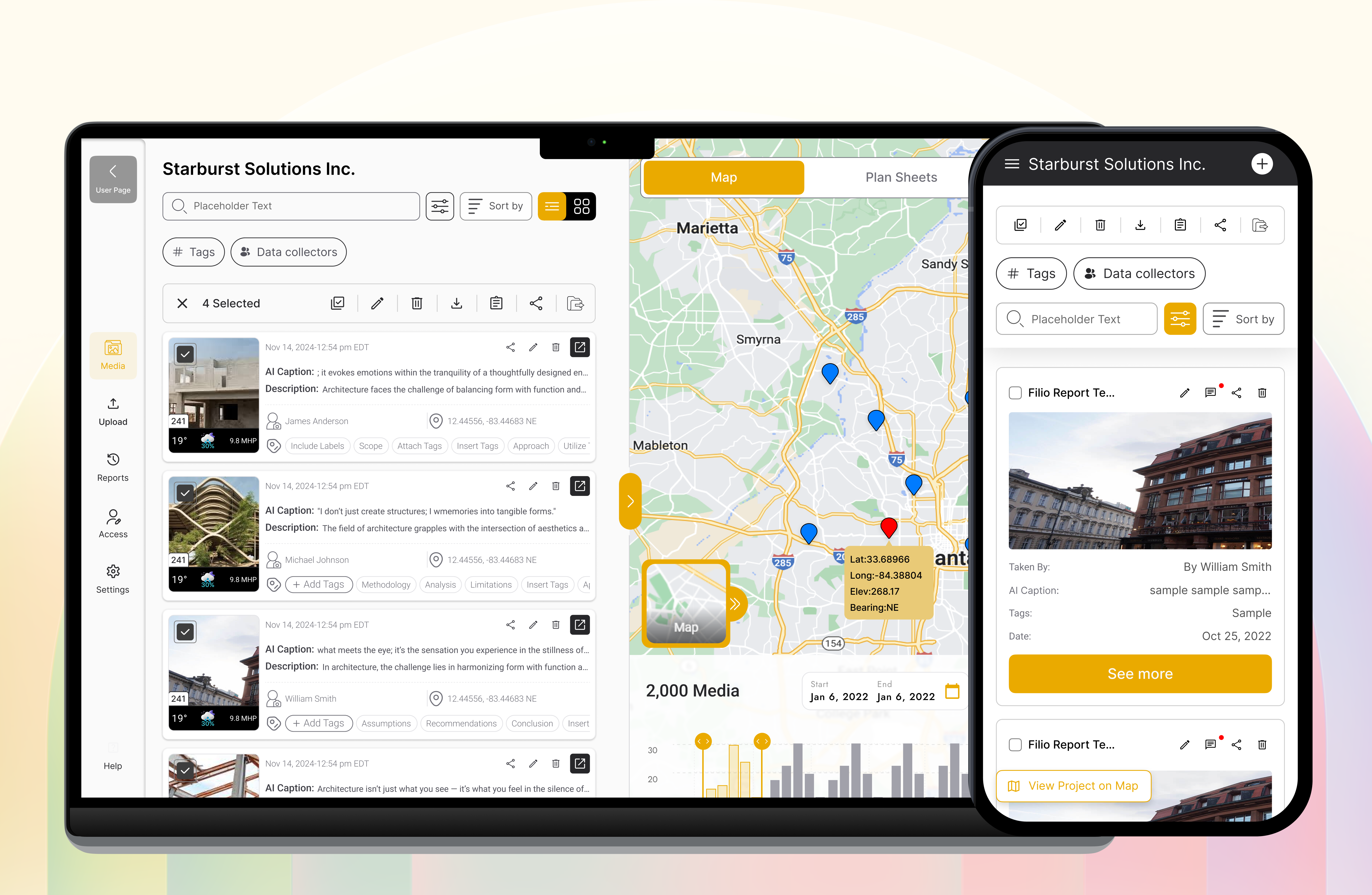
Summary: Filio is a construction photo documentation platform that captures jobsite media with embedded GPS, time, bearing, elevation, and weather data, enhanced by AI-generated captions and labels. It transforms raw photos and videos into searchable, report-ready evidence with GIS integration and plan sheet accuracy, supporting collaboration and legal-grade record keeping.
What it does
Filio enables field teams to capture photos, videos, 360 media, scans, and measured visuals linked to maps or plan sheets, automatically preserving metadata like location and environmental conditions. Its AI adds captions, labels, tags, and custom fields, while the web console manages permissions, stakeholder collaboration, and generates repeatable PDF and Word reports.
Who it's for
Filio is designed for engineers, inspectors, contractors, and construction professionals who require precise, verifiable photo documentation integrated with GIS data for audits, legal proof, and project management.
Why it matters
It solves the problem of disorganized, context-lacking jobsite photos by providing a rigorous, data-integrity focused platform that ensures captured media serves as indisputable evidence rather than just visual records.