
Distance By Postcode

Calculating distances of postcode pairs in bulk via roads
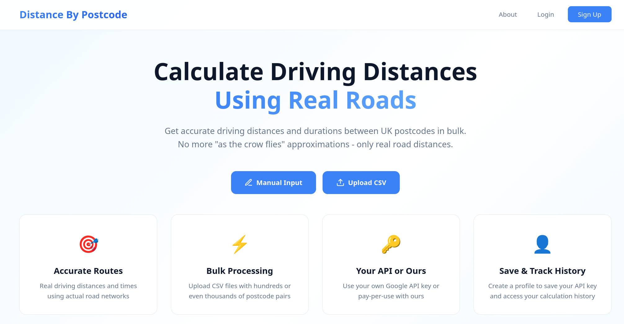
Distance By Postcode – Bulk driving distance calculations for UK postcodes
Summary: Distance By Postcode calculates accurate driving distances and estimated travel times between UK postcode pairs using real road networks via the Google Distance Matrix API. It supports bulk processing through manual entry or CSV/XLS uploads and provides downloadable results.
What it does
The tool calculates driving distances and travel times between postcode pairs at scale using Google’s road-based routing, not straight-line distances. Users can input pairs manually or upload CSV, XLS, or XLSX files and download results as CSV.
Who it's for
It is designed for users needing bulk driving distance calculations between UK postcodes, such as logistics managers and planners.
Why it matters
It solves the problem of obtaining accurate, road-based driving distances in bulk, avoiding manual lookups and inaccurate straight-line estimates.