
Coordinate Mapper

Convert, map, and export coordinates in your browser
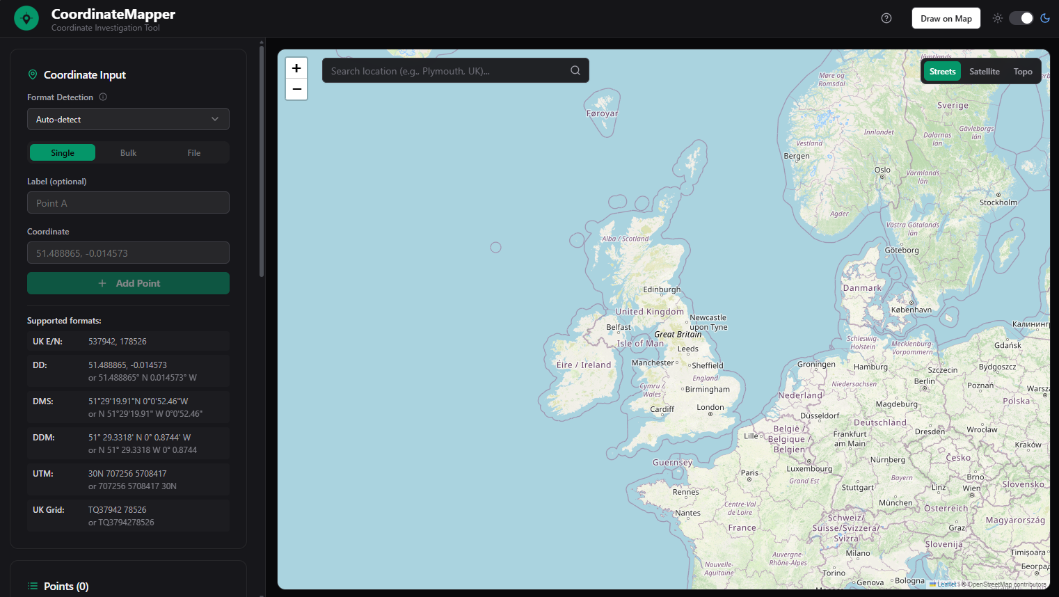
Coordinate Mapper – Convert, map, and export geographic coordinates in your browser
Summary: Coordinate Mapper is a browser-based tool for converting, visualizing, and exporting geographic coordinates. It supports bulk input, automatic format detection, and interactive mapping with drawing capabilities, enabling export to CSV, KML, and DXF formats.
What it does
It converts multiple coordinate formats, detects messy inputs automatically, visualizes data on an interactive map, and allows drawing points, lines, and polygons. Users can paste or upload coordinate lists and export results in various file formats.
Who it's for
It is designed for users needing quick coordinate conversion and visualization without using heavy GIS software.
Why it matters
It streamlines everyday coordinate tasks by combining conversion, mapping, and export functions in a fast, browser-based tool.