
Cascadology
The Google Maps for Waterfalls!
#Travel
#Outdoors
#Nature
Cascadology – The Google Maps for Waterfalls
Summary: Cascadology is a comprehensive map for discovering waterfalls, rapids, and dams, including potential unknown waterfalls detected via satellite data.
What it does
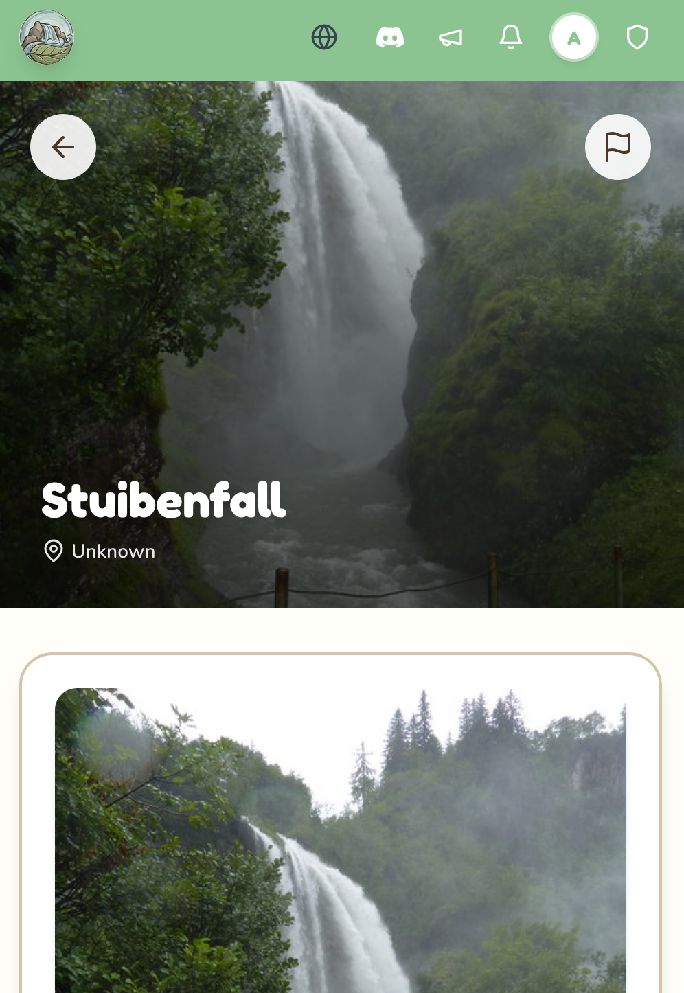
It maps waterfalls, rapids, and dams of any size using satellite data to identify known and potential new locations.
Who it's for
Users interested in exploring and discovering waterfalls and related water features.
Why it matters
It provides a centralized, detailed resource to locate and learn about waterfalls and water formations, including those not previously documented.