
AnalizaGPX

Convierte tus rutas en análisis claros y visuales
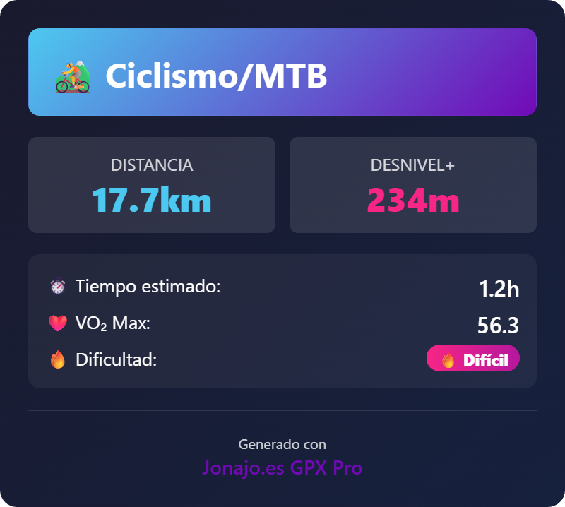
AnalizaGPX – Advanced GPX route analysis for outdoor activities
Summary: AnalizaGPX processes GPX files to deliver detailed technical and physiological performance analysis for hiking, trail running, and cycling. It visualizes key route data like altitude, speed, and navigation errors, enabling users to assess physical exertion and route accuracy.
What it does
It analyzes GPX data to identify strong segments, navigation deviations, physical strain zones, and generates clear graphs of altitude, speed, and pace. Users upload GPX files to receive visual and technical insights without complex setup.
Who it's for
Outdoor enthusiasts such as hikers, trail runners, and cyclists seeking detailed performance and route analysis.
Why it matters
It reveals hidden data in GPX files to improve route planning, navigation accuracy, and physical performance assessment.